Navigation: Home
\ Business
\ Databases & Tools \ TOPOWIN

TOPOWIN is a state-wide register of the German topographic cartographies and of localities with geo references in different coordinate systems. It also is a topographic information system.
« BACK
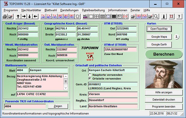
TOPOWIN screenshotby Killet GeoSoftware Ing.-GbR |

TOPOWIN is a state-wide register of the German topographic cartographies and of localities with geo references in different coordinate systems. It also is a topographic information system.
| Download TOPOWIN Add to Download Basket |
« BACK