Navigation: Home
\ Graphic Apps
\ CAD \ QGIS

QGIS supports vector, raster, and database formats and lets you browse and create map data on your computer.
QGIS supports many common spatial data formats (e.g. ESRI ShapeFile, geotiff).
« BACK
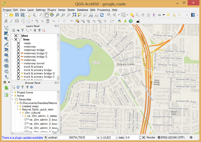
QGIS screenshotby Gary Sherman |

QGIS supports vector, raster, and database formats and lets you browse and create map data on your computer.
QGIS supports many common spatial data formats (e.g. ESRI ShapeFile, geotiff).
| Download QGIS Add to Download Basket |
« BACK