Navigation: Home
\ Development
\ Components & Libraries \ GeoTools

GeoTools is a library based on the specifications of Open Geospatial Consortium (OGC) that provides standard methods for working with geospatial data.
« BACK
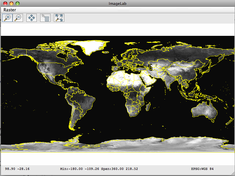
GeoTools screenshotby GeoTools |

GeoTools is a library based on the specifications of Open Geospatial Consortium (OGC) that provides standard methods for working with geospatial data.
| Download GeoTools Add to Download Basket |
« BACK